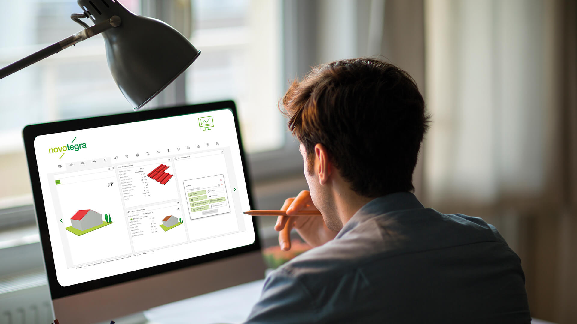
The operation is simple and quickly learned. And those who know Sunny Design will feel at home immediately. The Solar Planit building planner was developed in close cooperation with SMA and the operation is identical in both tools.
Familiar, but different: Google Maps support has necessitated a few changes to the interface.
Visible at first glance is the environment pod, which has moved to the front. You now enter the address first and can then enter the building data in the subsequent building pod. This can be done in two ways. You can switch between the modes using the tab at the top.
Roof dimensions: This is the usual procedure where you have the roof dimensions in writing. The size of the building is obtained by entering the roof slope length, ridge length and roof pitch. The layout is largely the same as the old roof pod.
Aerial view: The new mode allows you to draw from Google Maps. Here the procedure is exactly the other way round: The size of the roof results from the building dimensions, which are determined or entered by drawing, and the roof pitch.
You can switch between the modes using the tab at the top. You always change the same building and the selected mode is saved. A plan that you save in aerial view mode is also opened again as an aerial view.

